
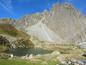
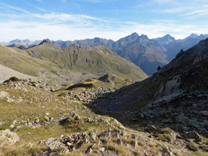
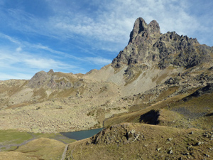
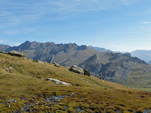
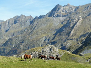
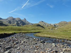
Pic de Peyreget
A grand traverse around Pic de Peyreget with views of the face of Pic du Midi d’Ossau – a great rock lump that imposes from many directions.
Spanish maps included within these descriptions are provided courtesy of the Spanish IGN and remain © Instituto Geográfico Nacional.
OSM (OpenStreetMap) and OCM (OpenCycleMap) maps are © OpenStreetMap Contributors. The OSM project welcomes contributions from all to enrich the map data, which is made freely available. Land (Thunderforest Landscape) maps are © Thunderforest based on data © OpenStreetMap contributors.
The grade of this walk is S/B, which means
S – Strenuous: More than 600 metres ascent and/or more than 15km in length with steep, loose or heavily vegetated sections.
B – Less than half the route on rough ground.
| Nearest town | Formigal |
| Directions to start |
From Zaragoza and Huesca south of the Pyrenees take the N260a N towards Biescas. Pass this and continue towards the French border on the A136. Cross the border at El Portallet and drive down about 1km to park in bays on the RHS directly opposite a clear track running initially SW. |
| Start point (Lat/Long) | 42.814987, -0.418043 Click here to view in Google Maps (in a new browser tab) |
| Length (km) | 11.20 |
| Ascent (metres) | 780 |
| Walking time (hours) | 3.75 |
| Total time (hours) | 5.00 |
| Recommendations or Restrictions | None |
Download walk descriptionDownload GPS file
Comments
Pic de Peyreget — No Comments
HTML tags allowed in your comment: <a href="" title=""> <abbr title=""> <acronym title=""> <b> <blockquote cite=""> <cite> <code> <del datetime=""> <em> <i> <q cite=""> <s> <strike> <strong>