
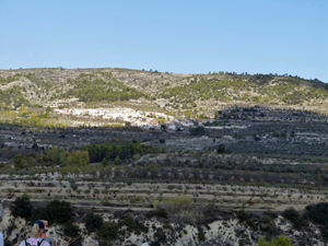
Rio Valleseta
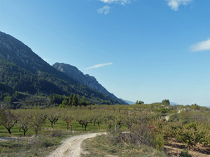
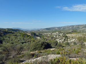
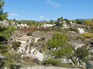
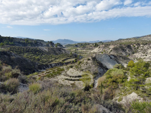
A country walk along lanes, footpaths and with some “rough stuff” across country with deeply eroded valleys and sweeping views.
Spanish maps included within these descriptions are provided courtesy of the Spanish IGN and remain © Instituto Geográfico Nacional.
OSM (OpenStreetMap) and OCM (OpenCycleMap) maps are © OpenStreetMap Contributors. The OSM project welcomes contributions from all to enrich the map data, which is made freely available. Land (Thunderforest Landscape) maps are © Thunderforest based on data © OpenStreetMap contributors.
The grade of this walk is MS/B, which means
MS – Moderately Strenuous: Up to 600 metres ascent and/or no more than 15 km in length with some rough going taken at a reasonable pace.
B – Less than half the route on rough ground
| Nearest town | Facheca |
| Directions to start |
The CV720 runs from the coast inland through a series of towns and villages including Benichembla, Castell de Castells and then Famorca and finally Facheca. At the far side of Facheca turn L onto the CV754 towards Quatretondeta and park on the LHS beside a small fenced football court with an (often closed) bar beyond it. |
| Start point (Lat/Long) | 38.734227, -0.272395 Click here to view in Google Maps (in a new browser tab) |
| Length (km) | 12.00 |
| Ascent (metres) | 440 |
| Walking time (hours) | 3.50 |
| Total time (hours) | 4.50 |
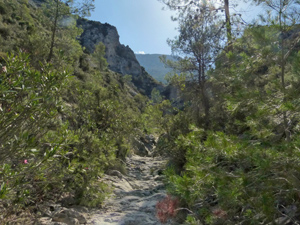
| Recommendations or Restrictions | Some easy scrambling in the barranco after km 7.2 and small navigational challenges at times. The bottom of the barranco could be problematic after rain. |
Download walk descriptionDownload GPS file
Comments
Rio Valleseta — No Comments
HTML tags allowed in your comment: <a href="" title=""> <abbr title=""> <acronym title=""> <b> <blockquote cite=""> <cite> <code> <del datetime=""> <em> <i> <q cite=""> <s> <strike> <strong>