
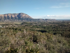
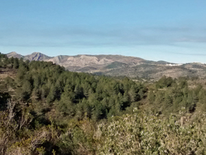
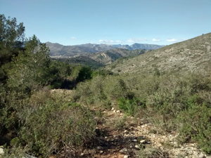
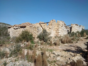
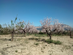
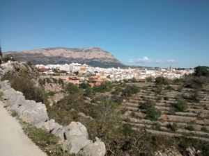
Gata Rollercoaster
A long ascent from the start to the top of Soldettes ridge. From there several shorter ups and downs, bringing us back to Soldettes ridge to then take an little used path directly off the ridge to the east. A final, smaller, ascent back to the town.
Spanish maps included within these descriptions are provided courtesy of the Spanish IGN and remain © Instituto Geográfico Nacional.
OSM (OpenStreetMap) and OCM (OpenCycleMap) maps are © OpenStreetMap Contributors. The OSM project welcomes contributions from all to enrich the map data, which is made freely available. Land (Thunderforest Landscape) maps are © Thunderforest based on data © OpenStreetMap contributors.
The grade of this walk is VS/C, which means
VS – Very Strenuous: More than 800 metres ascent and/or more than 20km in length with steep, loose or heavily vegetated sections.
C – More than half the route on rough ground.
| Nearest town | Gata |
| Directions to start |
From Teulada direction, take first left after the viaduct into Carrer Sant Josep/Calle San Jose. Cross bridge and follow road around to right. Park on right or left of road near allocated parking marked in red and children’s’ playground. |
| Start point (Lat/Long) | 38.770353, 0.088331 Click here to view in Google Maps (in a new browser tab) |
| Length (km) | 19.50 |
| Ascent (metres) | 1150 |
| Walking time (hours) | 5 |
| Total time (hours) | 6 |
| Recommendations or Restrictions | None |
Download walk descriptionDownload GPS file
Comments
Gata Rollercoaster — No Comments
HTML tags allowed in your comment: <a href="" title=""> <abbr title=""> <acronym title=""> <b> <blockquote cite=""> <cite> <code> <del datetime=""> <em> <i> <q cite=""> <s> <strike> <strong>