
Dos fuentes from Benimaurell – variation 2
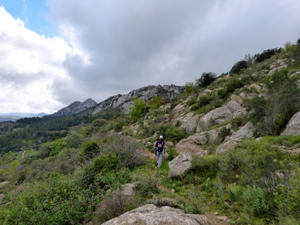
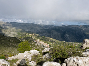
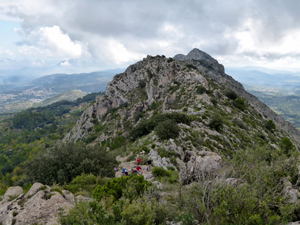
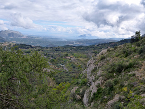
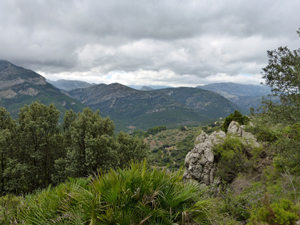
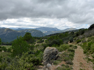
A very pleasant walk with an interesting ridge section. Some stunning scenery.
Spanish maps included within these descriptions are provided courtesy of the Spanish IGN and remain © Instituto Geográfico Nacional.
OSM (OpenStreetMap) and OCM (OpenCycleMap) maps are © OpenStreetMap Contributors. The OSM project welcomes contributions from all to enrich the map data, which is made freely available. Land (Thunderforest Landscape) maps are © Thunderforest based on data © OpenStreetMap contributors.
The grade of this walk is MS/B, which means
MS – Moderately Strenuous: Up to 600 metres ascent and/or no more than 15 km in length with some rough going taken at a reasonable pace.
B – Less than half the route on rough ground
| Nearest town | Benimaurell |
| Directions to start |
Drive 1 km north of Orba on the CV715 and turn off W along the CV721 through Campbell and Fleix to Benimaurell. On entering the village take first right (parking sign) and follow road around edge of village in the direction of Alahuar Hotel. Car Park on right just before Bar Les Rogetes (old Bar Oasis) |
| Start point (Lat/Long) | 38.773728, -0.127273 Click here to view in Google Maps (in a new browser tab) |
| Length (km) | 13.00 |
| Ascent (metres) | 590 |
| Walking time (hours) | 4.25 |
| Total time (hours) | 5.5 |
| Recommendations or Restrictions | None |
Download walk descriptionDownload GPS file
Comments
Dos fuentes from Benimaurell – variation 2 — No Comments
HTML tags allowed in your comment: <a href="" title=""> <abbr title=""> <acronym title=""> <b> <blockquote cite=""> <cite> <code> <del datetime=""> <em> <i> <q cite=""> <s> <strike> <strong>