
Sierra de Falconera Mollo de la Creu 1.
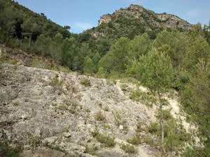
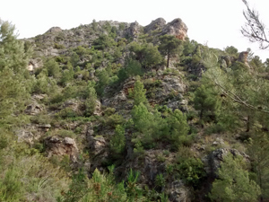
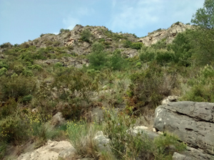
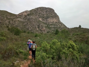
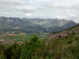
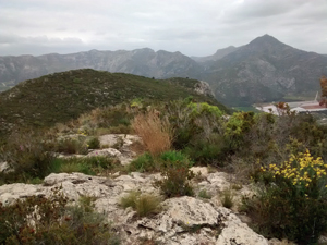
A climb up this little known ridge initially steeply up beside a barranco nd then with open views in all directions.
Spanish maps included within these descriptions are provided courtesy of the Spanish IGN and remain © Instituto Geográfico Nacional.
OSM (OpenStreetMap) and OCM (OpenCycleMap) maps are © OpenStreetMap Contributors. The OSM project welcomes contributions from all to enrich the map data, which is made freely available. Land (Thunderforest Landscape) maps are © Thunderforest based on data © OpenStreetMap contributors.
The grade of this walk is M/B, which means
M – Moderate: up to 12km in length, less than 400 metres ascent and less than 50% rough going.
B – Less than half the route on rough ground
| Nearest town | Gandia |
| Directions to start |
From Gandia bypass N332 take Barx/Gandia oeste exit, turn R then immediately turn R again, just before Colegio. Turn R under bypass then at motorway turn L then R under that. (avoiding stormdrain) turn R then the road bears L beside a wood. At a sharp R hand bend that climbs steeply up park in the broad track straight ahead, below a white house. |
| Start point (Lat/Long) | 38.966167, -0.213027 Click here to view in Google Maps (in a new browser tab) |
| Length (km) | 5.00 |
| Ascent (metres) | 380 |
| Walking time (hours) | 2.5 |
| Total time (hours) | 3.5 |
| Recommendations or Restrictions | None |
Download walk descriptionDownload GPS file
Comments
Sierra de Falconera Mollo de la Creu 1. — No Comments
HTML tags allowed in your comment: <a href="" title=""> <abbr title=""> <acronym title=""> <b> <blockquote cite=""> <cite> <code> <del datetime=""> <em> <i> <q cite=""> <s> <strike> <strong>