
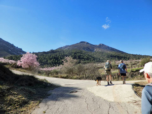
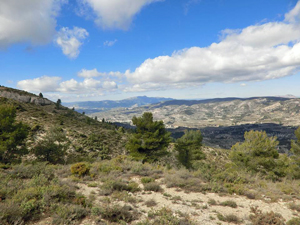
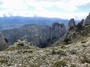
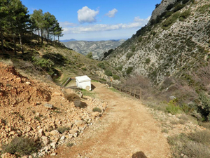
Pla de la Casa and Malla de Llop
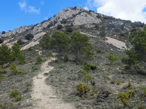
A fine mountain outing on a high ridge with dramatic scenery all around.
Spanish maps included within these descriptions are provided courtesy of the Spanish IGN and remain © Instituto Geográfico Nacional.
OSM (OpenStreetMap) and OCM (OpenCycleMap) maps are © OpenStreetMap Contributors. The OSM project welcomes contributions from all to enrich the map data, which is made freely available. Land (Thunderforest Landscape) maps are © Thunderforest based on data © OpenStreetMap contributors.
The grade of this walk is VS/C/Scr, which means
VS – Very Strenuous: More than 800 metres ascent and/or more than 20km in length with steep, loose or heavily vegetated sections.
C – More than half the route on rough ground.
Scr – Scrambling: This implies the need for handholds to ascend steep rock pitches with a sense of exposure to vertigo and where a slip could lead to a serious accident.
| Nearest town | Famorca |
| Directions to start |
Take the CV720 from Castells de Castells to Famorca. Take first L into village and drive to end and park by tennis/sports club. |
| Start point (Lat/Long) | 38.731607, -0.245883 Click here to view in Google Maps (in a new browser tab) |
| Length (km) | 16.50 |
| Ascent (metres) | 1000 |
| Walking time (hours) | 4.5 |
| Total time (hours) | 6.25 |
| Recommendations or Restrictions | Hard mountain day. |
Download walk descriptionDownload GPS file

Comments
Pla de la Casa and Malla de Llop — No Comments
HTML tags allowed in your comment: <a href="" title=""> <abbr title=""> <acronym title=""> <b> <blockquote cite=""> <cite> <code> <del datetime=""> <em> <i> <q cite=""> <s> <strike> <strong>