
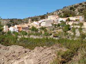
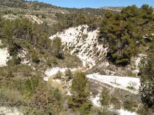
Alfaro and Beyond
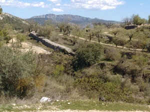
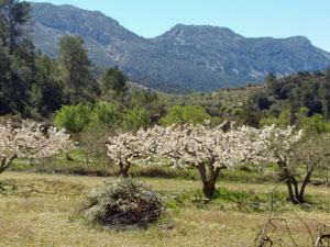
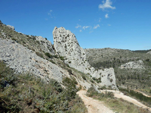
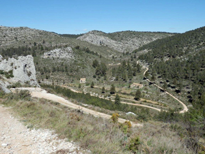
An early ascent up an old winding hunters’ path leads to Alfaro summit, then head down towards Malafi and wind along through Tollos, bypass Benimassot and follow a forest trail to Facheca then a country path to return to cars.
Spanish maps included within these descriptions are provided courtesy of the Spanish IGN and remain © Instituto Geográfico Nacional.
OSM (OpenStreetMap) and OCM (OpenCycleMap) maps are © OpenStreetMap Contributors. The OSM project welcomes contributions from all to enrich the map data, which is made freely available. Land (Thunderforest Landscape) maps are © Thunderforest based on data © OpenStreetMap contributors.
The grade of this walk is VS/C, which means
VS – Very Strenuous: More than 800 metres ascent and/or more than 20km in length with steep, loose or heavily vegetated sections.
C – More than half the route on rough ground.
| Nearest town | Famorca |
| Directions to start |
Take the CV720 from Castells de Castells to Famorca. Take first L into village and drive to end and park by tennis/sports club. |
| Start point (Lat/Long) | 38.731607, -0.245883 Click here to view in Google Maps (in a new browser tab) |
| Length (km) | 17.00 |
| Ascent (metres) | 820 |
| Walking time (hours) | 5 |
| Total time (hours) | 6 |
| Recommendations or Restrictions | None |
Download walk descriptionDownload GPS file
Comments
Alfaro and Beyond — No Comments
HTML tags allowed in your comment: <a href="" title=""> <abbr title=""> <acronym title=""> <b> <blockquote cite=""> <cite> <code> <del datetime=""> <em> <i> <q cite=""> <s> <strike> <strong>