
Penya Mulero and More
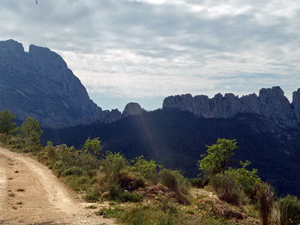
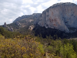
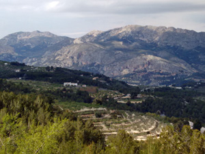
This is a walk that provides absolutely stunning views for the most of the day into the valleys on both sides of the Penya. The modest 600 metre ascent rewards walkers with beautiful 360 degree views from the top of Penya Mulero. Being at high altitude it can be cold and snowy in winter with only minimal shade in summer.
Spanish maps included within these descriptions are provided courtesy of the Spanish IGN and remain © Instituto Geográfico Nacional.
OSM (OpenStreetMap) and OCM (OpenCycleMap) maps are © OpenStreetMap Contributors. The OSM project welcomes contributions from all to enrich the map data, which is made freely available. Land (Thunderforest Landscape) maps are © Thunderforest based on data © OpenStreetMap contributors.
The grade of this walk is VS/C, which means
VS – Very Strenuous: More than 800 metres ascent and/or more than 20km in length with steep, loose or heavily vegetated sections.
C – More than half the route on rough ground.
| Nearest town | Guadalest |
| Directions to start |
CV70 Polop to Guadalest road ,at km33.5 turn L at sign for Hostal EL Trestellador, after a few hyndred mtrs.take a L turn doubling back – follow this around to a RH bend with a fence to LHS and park on a track to RHS |
| Start point (Lat/Long) | 38.656510, -0.196810 Click here to view in Google Maps (in a new browser tab) |
| Length (km) | 18.00 |
| Ascent (metres) | 1070 |
| Walking time (hours) | 5.25 |
| Total time (hours) | 6 |
| Recommendations or Restrictions | None |
Download walk descriptionDownload GPS file
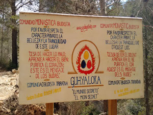
the farmer has got barricade and ‘ privado ‘ signs where you turn L in l’ Arc valley at 4.86 km and involves section to 6.95 km … Not sure if it is a good idea to try this walk at present!