
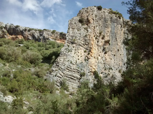
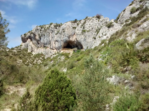
Barranco de Turrubanes circuit
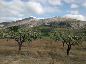
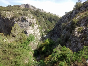
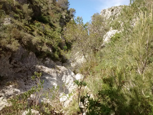
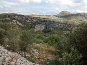
A very pleasant walk with wonderful views throughout. Mainly on country roads, tracks and well defined paths. The barranco section is, as usual, less well defined but still easy to follow and not scratchy. (at time of writing) On a few occasions the use of your hands will prove helpful.
Spanish maps included within these descriptions are provided courtesy of the Spanish IGN and remain © Instituto Geográfico Nacional.
OSM (OpenStreetMap) and OCM (OpenCycleMap) maps are © OpenStreetMap Contributors. The OSM project welcomes contributions from all to enrich the map data, which is made freely available. Land (Thunderforest Landscape) maps are © Thunderforest based on data © OpenStreetMap contributors.
The grade of this walk is M/B, which means
M – Moderate: up to 12km in length, less than 400 metres ascent and less than 50% rough going.
B – Less than half the route on rough ground
| Nearest town | Vall d’Ebo |
| Directions to start |
From the CV 715 Orba to Pego road – SE of Pego take the CV712 to Vall d’Ebo. As you approach Vall d’Ebo go over the bridge, straight on and park at the edge of the village. |
| Start point (Lat/Long) | 38.806654, -0.157279 Click here to view in Google Maps (in a new browser tab) |
| Length (km) | 9.50 |
| Ascent (metres) | 320 |
| Walking time (hours) | 2.75 |
| Total time (hours) | 4 |
| Recommendations or Restrictions | None |
Download walk descriptionDownload GPS file
Please report any difficulties with landowners encountered along this walk.