
Area Recreativa de la Perdiz circuit from campsite
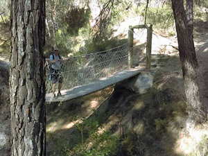
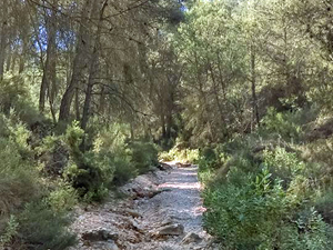
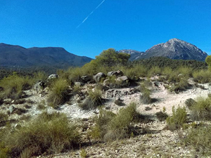
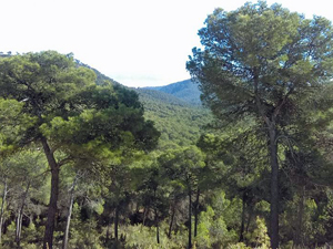
A pleasant walk on good well defined tracks and paths with some spectacular views.
Spanish maps included within these descriptions are provided courtesy of the Spanish IGN and remain © Instituto Geográfico Nacional.
OSM (OpenStreetMap) and OCM (OpenCycleMap) maps are © OpenStreetMap Contributors. The OSM project welcomes contributions from all to enrich the map data, which is made freely available. Land (Thunderforest Landscape) maps are © Thunderforest based on data © OpenStreetMap contributors.
The grade of this walk is M/A, which means
M – Moderate: up to 12km in length, less than 400 metres ascent and less than 50% rough going.
A – All on good tracks
| Nearest town | |
| Directions to start |
From the A7 motorway to the SW of Murcia the town of Alhama de Murcia allows access to the park of the Sierra Espuna. El Berro is a small town dirctly to the NW of Alhama. |
| Start point (Lat/Long) | 37.888047, -1.493071 Click here to view in Google Maps (in a new browser tab) |
| Length (km) | 11.50 |
| Ascent (metres) | 340 |
| Walking time (hours) | 2.50 |
| Total time (hours) | 3.50 |
| Recommendations or Restrictions | None |
Download walk descriptionDownload GPS file
Comments
Area Recreativa de la Perdiz circuit from campsite — No Comments
HTML tags allowed in your comment: <a href="" title=""> <abbr title=""> <acronym title=""> <b> <blockquote cite=""> <cite> <code> <del datetime=""> <em> <i> <q cite=""> <s> <strike> <strong>