
Azafor (La Safor )
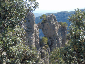
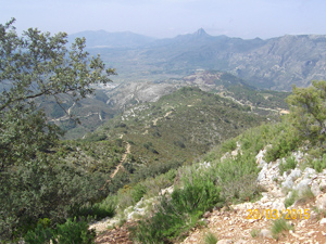
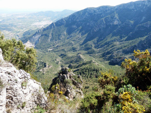
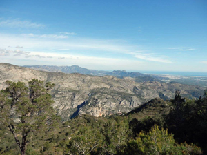
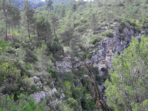
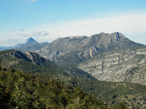
Wonderful views on the route up, a picnic area for lunch, a meandering return trail passing a waterfall and views to the Rio Serpis.
Spanish maps included within these descriptions are provided courtesy of the Spanish IGN and remain © Instituto Geográfico Nacional.
OSM (OpenStreetMap) and OCM (OpenCycleMap) maps are © OpenStreetMap Contributors. The OSM project welcomes contributions from all to enrich the map data, which is made freely available. Land (Thunderforest Landscape) maps are © Thunderforest based on data © OpenStreetMap contributors.
The grade of this walk is VS/C, which means
VS – Very Strenuous: More than 800 metres ascent and/or more than 20km in length with steep, loose or heavily vegetated sections.
C – More than half the route on rough ground.
| Nearest town | Vilallonga |
| Directions to start |
From N332 North end of Oliva take turn to Font d’en Carros,follow past Benifla,Potries to Villallonga,drive past school and turn L– pass quarry and continue to small junction signed Lorcha -park in track near house. |
| Start point (Lat/Long) | 38.874800, -0.258990 Click here to view in Google Maps (in a new browser tab) |
| Length (km) | 13.00 |
| Ascent (metres) | 750 |
| Walking time (hours) | 4.50 |
| Total time (hours) | 5.00 |
| Recommendations or Restrictions | None |
Download walk descriptionDownload GPS file
Comments
Azafor (La Safor ) — No Comments
HTML tags allowed in your comment: <a href="" title=""> <abbr title=""> <acronym title=""> <b> <blockquote cite=""> <cite> <code> <del datetime=""> <em> <i> <q cite=""> <s> <strike> <strong>