
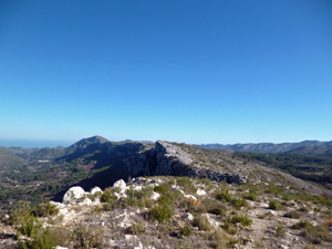
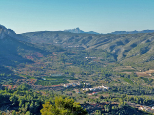
Benirrama to Forat and back via Alt de Xap
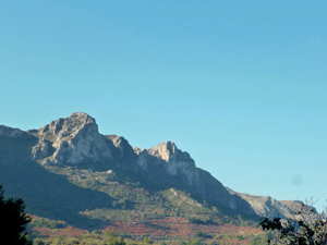
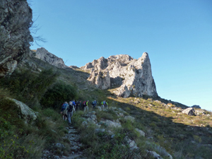
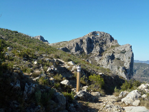
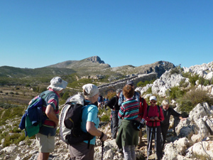
From Benirrama we walk to Benissiva and from here up to the Forada ridge. We take a short detour to go to the Forat and then retrace our steps to walk along the Forada ridge, past a cave house. Then over the Alt de Xap and down a Mozarabic trail back to Benirrama. All on quiet roads, tracks and marked paths
Spanish maps included within these descriptions are provided courtesy of the Spanish IGN and remain © Instituto Geográfico Nacional.
OSM (OpenStreetMap) and OCM (OpenCycleMap) maps are © OpenStreetMap Contributors. The OSM project welcomes contributions from all to enrich the map data, which is made freely available. Land (Thunderforest Landscape) maps are © Thunderforest based on data © OpenStreetMap contributors.
The grade of this walk is S/B, which means
S – Strenuous: More than 600 metres ascent and/or more than 15km in length with steep, loose or heavily vegetated sections.
B – Less than half the route on rough ground.
| Nearest town | Benirrama |
| Directions to start |
Take the CV700 from Pego past Adsubia and on up the Gallinera valley. Reach a turning on the L (CV170) to Benirrama. Bear R uphill as you enter the village to a parking area on the LHS. |
| Start point (Lat/Long) | 38.830462, -0.196594 Click here to view in Google Maps (in a new browser tab) |
| Length (km) | 15.50 |
| Ascent (metres) | 610 |
| Walking time (hours) | 4.25 |
| Total time (hours) | 5.50 |
| Recommendations or Restrictions | AVOID WEEKENDS AS PARKING IS LIMITTED. |
Download walk descriptionDownload GPS file
Comments
Benirrama to Forat and back via Alt de Xap — No Comments
HTML tags allowed in your comment: <a href="" title=""> <abbr title=""> <acronym title=""> <b> <blockquote cite=""> <cite> <code> <del datetime=""> <em> <i> <q cite=""> <s> <strike> <strong>