
Col de Rates and Font d’Olbis
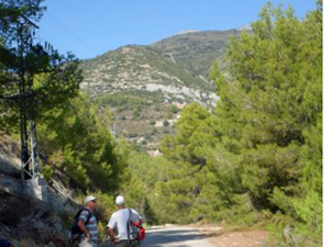
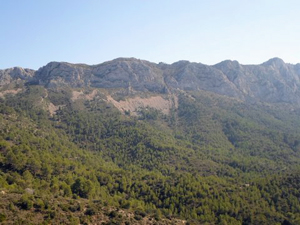
A walk along the Carrascal ridge before exploring the Font and other interesting features before an uphill finish.
Spanish maps included within these descriptions are provided courtesy of the Spanish IGN and remain © Instituto Geográfico Nacional.
OSM (OpenStreetMap) and OCM (OpenCycleMap) maps are © OpenStreetMap Contributors. The OSM project welcomes contributions from all to enrich the map data, which is made freely available. Land (Thunderforest Landscape) maps are © Thunderforest based on data © OpenStreetMap contributors.
The grade of this walk is S/C, which means
S – Strenuous: More than 600 metres ascent and/or more than 15km in length with steep, loose or heavily vegetated sections.
C – More than half the route on rough ground.
| Nearest town | Parcent |
| Directions to start |
Drive up the CV 715 uphill around zig-zags to arrive at the col de rates with its restaurant on the RHS. Turn up the drive to this, but park before reaching the restaurant car park. |
| Start point (Lat/Long) | 38.723973, -0.059682 Click here to view in Google Maps (in a new browser tab) |
| Length (km) | 14.50 |
| Ascent (metres) | 750 |
| Walking time (hours) | 4.75 |
| Total time (hours) | 5.50 |
| Recommendations or Restrictions | None |
Download walk descriptionDownload GPS file
Comments
Col de Rates and Font d’Olbis — No Comments
HTML tags allowed in your comment: <a href="" title=""> <abbr title=""> <acronym title=""> <b> <blockquote cite=""> <cite> <code> <del datetime=""> <em> <i> <q cite=""> <s> <strike> <strong>