
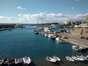
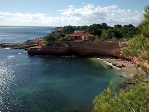
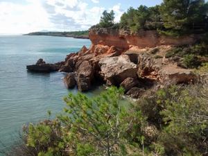
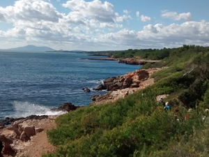
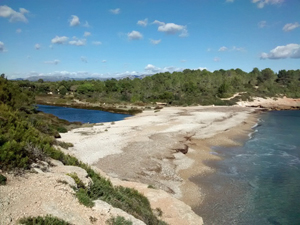
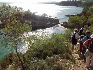
From L’Ametlla to L’Ampolla
Interesting coves and beaches are interspersed with more urban scenery along this coast. With ups and downs all day it is quite strenuous.
Spanish maps included within these descriptions are provided courtesy of the Spanish IGN and remain © Instituto Geográfico Nacional.
OSM (OpenStreetMap) and OCM (OpenCycleMap) maps are © OpenStreetMap Contributors. The OSM project welcomes contributions from all to enrich the map data, which is made freely available. Land (Thunderforest Landscape) maps are © Thunderforest based on data © OpenStreetMap contributors.
The grade of this walk is S/A, which means
S – Strenuous: More than 600 metres ascent and/or more than 15km in length with steep, loose or heavily vegetated sections.
A – All good tracks.
| Nearest town | L’Ametlla |
| Directions to start | |
| Start point (Lat/Long) | 40.812038, 0.708329 Click here to view in Google Maps (in a new browser tab) |
| Length (km) | 18.00 |
| Ascent (metres) | 520 |
| Walking time (hours) | 4.5 |
| Total time (hours) | 6.25 |
| Recommendations or Restrictions | None |
Download walk descriptionDownload GPS file
Comments
From L’Ametlla to L’Ampolla — No Comments
HTML tags allowed in your comment: <a href="" title=""> <abbr title=""> <acronym title=""> <b> <blockquote cite=""> <cite> <code> <del datetime=""> <em> <i> <q cite=""> <s> <strike> <strong>