
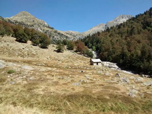
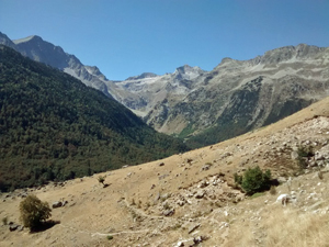
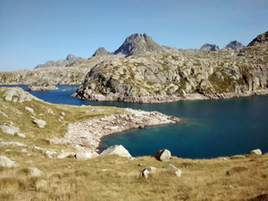
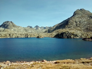
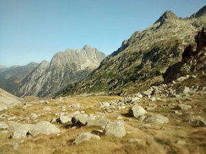
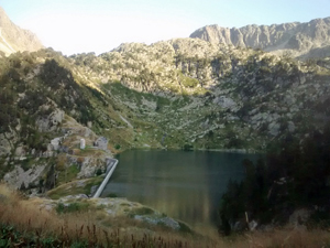
GR11 – Day 25 – Refugio Conangles to Refugio Restanca
A walk among the high mountains and lakes of the Pyrenees. Short steep ascent near the end.
Spanish maps included within these descriptions are provided courtesy of the Spanish IGN and remain © Instituto Geográfico Nacional.
OSM (OpenStreetMap) and OCM (OpenCycleMap) maps are © OpenStreetMap Contributors. The OSM project welcomes contributions from all to enrich the map data, which is made freely available. Land (Thunderforest Landscape) maps are © Thunderforest based on data © OpenStreetMap contributors.
The grade of this walk is VS/B, which means
VS – Very Strenuous: More than 800 metres ascent and/or more than 20km in length with steep, loose or heavily vegetated sections.
B – Less than half the route on rough ground.
| Nearest town | Vielha |
| Directions to start |
Follow the N230 S from the town of Vielha and drive through the tunnel. A little way down on the LHS is a large parking area and signs to the Refugio de Conangles. Start here |
| Start point (Lat/Long) | 42.615791, 0.765868 Click here to view in Google Maps (in a new browser tab) |
| Length (km) | 12.00 |
| Ascent (metres) | 1050 |
| Walking time (hours) | 4 |
| Total time (hours) | 5.5 |
| Recommendations or Restrictions | Tough mountain day. |
Download walk descriptionDownload GPS file
Comments
GR11 – Day 25 – Refugio Conangles to Refugio Restanca — No Comments
HTML tags allowed in your comment: <a href="" title=""> <abbr title=""> <acronym title=""> <b> <blockquote cite=""> <cite> <code> <del datetime=""> <em> <i> <q cite=""> <s> <strike> <strong>