
GR11 – Day 27 – Refugio Colomers to Espot
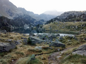
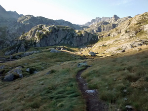
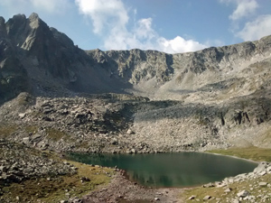
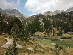
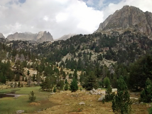
A high level traverse across one of the best areas of the Pyrenees with many small lakes and open mountain scenery.
Spanish maps included within these descriptions are provided courtesy of the Spanish IGN and remain © Instituto Geográfico Nacional.
OSM (OpenStreetMap) and OCM (OpenCycleMap) maps are © OpenStreetMap Contributors. The OSM project welcomes contributions from all to enrich the map data, which is made freely available. Land (Thunderforest Landscape) maps are © Thunderforest based on data © OpenStreetMap contributors.
The grade of this walk is S/B, which means
S – Strenuous: More than 600 metres ascent and/or more than 15km in length with steep, loose or heavily vegetated sections.
B – Less than half the route on rough ground.
| Nearest town | Arties |
| Directions to start |
If taking a mountain taxi to the nearest car park, then follow signs from here. Else arrive as part of the GR11. |
| Start point (Lat/Long) | 42.624101, 0.920237 Click here to view in Google Maps (in a new browser tab) |
| Length (km) | 20.00 |
| Ascent (metres) | 630 |
| Walking time (hours) | 4 |
| Total time (hours) | 6 |
| Recommendations or Restrictions | None |
Download walk descriptionDownload GPS file
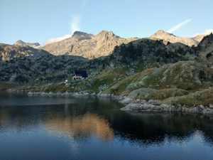
Fantastic although tiring and long walk, but the sun sets very late so you’ve got all day. Just don’t miss out on the wonderful three course meal at Refugi Colomers! Our 11 year old son managed it and loved it!