
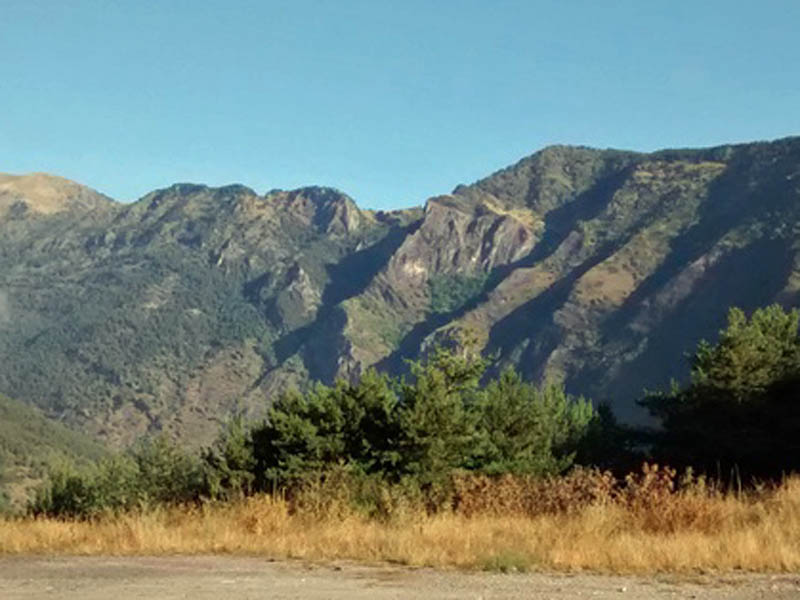
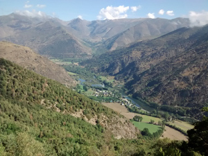
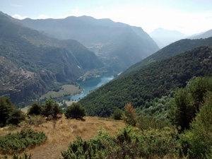
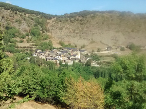
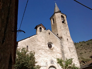
GR11 – Day 28 – Espot to La Guingueta
An easy day along the flanks of the mountain to reach the next “take off” point for the higher mountains.
Spanish maps included within these descriptions are provided courtesy of the Spanish IGN and remain © Instituto Geográfico Nacional.
OSM (OpenStreetMap) and OCM (OpenCycleMap) maps are © OpenStreetMap Contributors. The OSM project welcomes contributions from all to enrich the map data, which is made freely available. Land (Thunderforest Landscape) maps are © Thunderforest based on data © OpenStreetMap contributors.
The grade of this walk is M/A, which means
M – Moderate: up to 12km in length, less than 400 metres ascent and less than 50% rough going.
A – All on good tracks
| Nearest town | Espot |
| Directions to start |
From the mid N of Spain find the C13 road heading N from Sort. Turn L on the LV50014 at the S end of Panta de la Torrossa – a large reservoir and drive to Espot. |
| Start point (Lat/Long) | 42.575781, 1.088466 Click here to view in Google Maps (in a new browser tab) |
| Length (km) | 12.00 |
| Ascent (metres) | 320 |
| Walking time (hours) | 2.5 |
| Total time (hours) | 3.5 |
| Recommendations or Restrictions | None |
Download walk descriptionDownload GPS file
Comments
GR11 – Day 28 – Espot to La Guingueta — No Comments
HTML tags allowed in your comment: <a href="" title=""> <abbr title=""> <acronym title=""> <b> <blockquote cite=""> <cite> <code> <del datetime=""> <em> <i> <q cite=""> <s> <strike> <strong>