
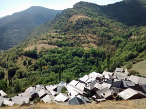
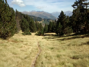
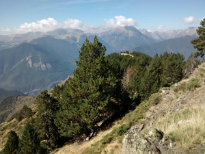
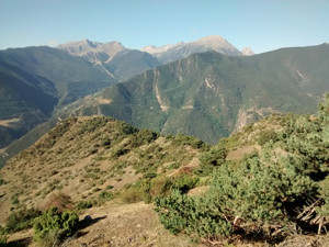
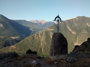
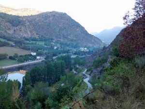
GR11 – Day 29 – La Guingueta to Estaon
A challenging walk between villages with much tree cover. Second half perhaps more interesting. A tough walk across a big ridge with improving views during the day both back and forward.
Spanish maps included within these descriptions are provided courtesy of the Spanish IGN and remain © Instituto Geográfico Nacional.
OSM (OpenStreetMap) and OCM (OpenCycleMap) maps are © OpenStreetMap Contributors. The OSM project welcomes contributions from all to enrich the map data, which is made freely available. Land (Thunderforest Landscape) maps are © Thunderforest based on data © OpenStreetMap contributors.
The grade of this walk is VS/B, which means
VS – Very Strenuous: More than 800 metres ascent and/or more than 20km in length with steep, loose or heavily vegetated sections.
B – Less than half the route on rough ground.
| Nearest town | La Guingueta d’Aneu |
| Directions to start |
From the N260 across the S of the Pyrenees at the town of Sort turn N on the C13 and follow this all the way to La Guingeuta. |
| Start point (Lat/Long) | 42.594809, 1.131757 Click here to view in Google Maps (in a new browser tab) |
| Length (km) | 11.00 |
| Ascent (metres) | 1300 |
| Walking time (hours) | 4 |
| Total time (hours) | 5.75 |
| Recommendations or Restrictions | None |
Download walk descriptionDownload GPS file
Comments
GR11 – Day 29 – La Guingueta to Estaon — No Comments
HTML tags allowed in your comment: <a href="" title=""> <abbr title=""> <acronym title=""> <b> <blockquote cite=""> <cite> <code> <del datetime=""> <em> <i> <q cite=""> <s> <strike> <strong>