
GR11 – Day 31 – Tavascan to Areu
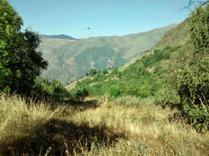
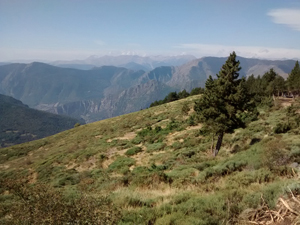
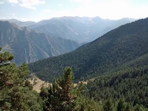
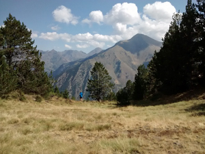
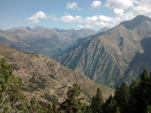
An initial wander over wander over lower slopes gives way to a high level crossing of a lonely plateau and descent to the next valley E.
Spanish maps included within these descriptions are provided courtesy of the Spanish IGN and remain © Instituto Geográfico Nacional.
OSM (OpenStreetMap) and OCM (OpenCycleMap) maps are © OpenStreetMap Contributors. The OSM project welcomes contributions from all to enrich the map data, which is made freely available. Land (Thunderforest Landscape) maps are © Thunderforest based on data © OpenStreetMap contributors.
The grade of this walk is VS/B, which means
VS – Very Strenuous: More than 800 metres ascent and/or more than 20km in length with steep, loose or heavily vegetated sections.
B – Less than half the route on rough ground.
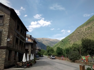
| Nearest town | Tavascan |
| Directions to start |
From the town of Sort take the C13 road N towards the high Pyrnees and in Llavorsi take the L504 and continue for some time to the village of Tavascan and its hotel laden main street. |
| Start point (Lat/Long) | 42.644211, 1.257379 Click here to view in Google Maps (in a new browser tab) |
| Length (km) | 13.00 |
| Ascent (metres) | 1300 |
| Walking time (hours) | 4.5 |
| Total time (hours) | 6.25 |
| Recommendations or Restrictions | None |
Download walk descriptionDownload GPS file
Comments
GR11 – Day 31 – Tavascan to Areu — No Comments
HTML tags allowed in your comment: <a href="" title=""> <abbr title=""> <acronym title=""> <b> <blockquote cite=""> <cite> <code> <del datetime=""> <em> <i> <q cite=""> <s> <strike> <strong>