
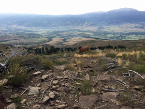
GR11 – Day 37 – Refugio de Malniu to Puigcerda
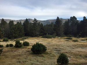
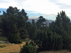
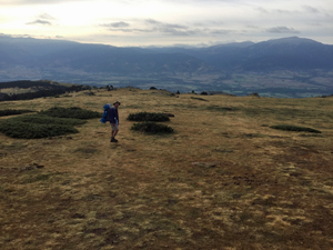
A low level hike over rolling hills and into the vale of Puigcerda, lying almost directly on the France/Spain border.
Spanish maps included within these descriptions are provided courtesy of the Spanish IGN and remain © Instituto Geográfico Nacional.
OSM (OpenStreetMap) and OCM (OpenCycleMap) maps are © OpenStreetMap Contributors. The OSM project welcomes contributions from all to enrich the map data, which is made freely available. Land (Thunderforest Landscape) maps are © Thunderforest based on data © OpenStreetMap contributors.
The grade of this walk is MS/A, which means
MS – Moderately Strenuous: Up to 600 metres ascent and/or no more than 15 km in length with some rough going taken at a reasonable pace.
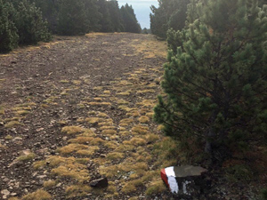
A – All on good tracks
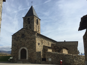
| Nearest town | Meranges |
| Directions to start |
The N260 road runs along the south side of the Pyrenees. In the town of Ger (to the NE of Bellver de Cerdanya) a turning NW – the GIV4031 heads off up into the hills. Follow this to reach Meranges and then find a minor tarmac road leading up to Malniu. |
| Start point (Lat/Long) | 42.464361, 1.785437 Click here to view in Google Maps (in a new browser tab) |
| Length (km) | 15.00 |
| Ascent (metres) | 150 |
| Walking time (hours) | 3.33 |
| Total time (hours) | 4.5 |
| Recommendations or Restrictions | None |
Download walk descriptionDownload GPS file
Comments
GR11 – Day 37 – Refugio de Malniu to Puigcerda — No Comments
HTML tags allowed in your comment: <a href="" title=""> <abbr title=""> <acronym title=""> <b> <blockquote cite=""> <cite> <code> <del datetime=""> <em> <i> <q cite=""> <s> <strike> <strong>