
Abdet to Pla de la Casa figure of eight
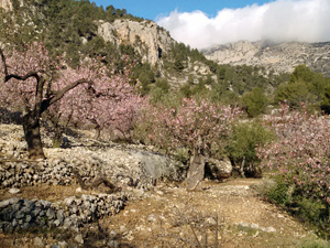
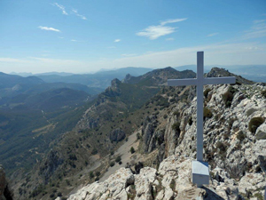
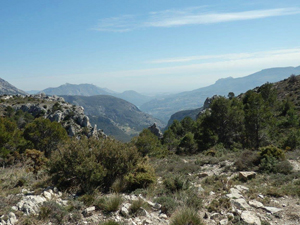
An extended figure of eight with a bit of everything – a barranco, a summit, a ridge, forest paths, spectacular scenery and views.
Spanish maps included within these descriptions are provided courtesy of the Spanish IGN and remain © Instituto Geográfico Nacional.
OSM (OpenStreetMap) and OCM (OpenCycleMap) maps are © OpenStreetMap Contributors. The OSM project welcomes contributions from all to enrich the map data, which is made freely available. Land (Thunderforest Landscape) maps are © Thunderforest based on data © OpenStreetMap contributors.
The grade of this walk is VS/C/X, which means
VS – Very Strenuous: More than 800 metres ascent and/or more than 20km in length with steep, loose or heavily vegetated sections.
C – More than half the route on rough ground.
X – Experienced walkers route: the route requires considerable stamina and/or significant scrambling skills on rough, steep or exposed sections.
| Nearest town | Abdet |
| Directions to start |
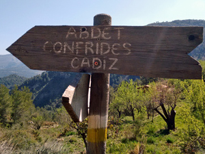
From CV70 Guadalest to Confrides road turn R onto CV7560 signed L’ Abdet and drive to far end of village and park on public car park |
| Start point (Lat/Long) | 38.694600, -0.257000 Click here to view in Google Maps (in a new browser tab) |
| Length (km) | 16.50 |
| Ascent (metres) | 950 |
| Walking time (hours) | 5.25 |
| Total time (hours) | 6 |
| Recommendations or Restrictions | Ability to walk down a loose rocky path. |
Download walk descriptionDownload GPS file

Comments
Abdet to Pla de la Casa figure of eight — No Comments
HTML tags allowed in your comment: <a href="" title=""> <abbr title=""> <acronym title=""> <b> <blockquote cite=""> <cite> <code> <del datetime=""> <em> <i> <q cite=""> <s> <strike> <strong>