
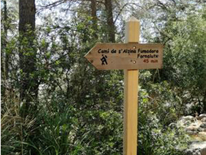
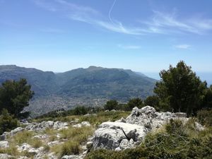
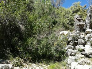
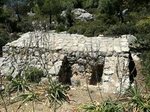
Loop above Fornalutz (clockwise)
Pleasant walk up a wooded valley to a viewpoint with great views. Return via a more open path, with views towards the mountains inland. The walk is described in the Soller Walking Paradise guide, but in the reverse direction.
Spanish maps included within these descriptions are provided courtesy of the Spanish IGN and remain © Instituto Geográfico Nacional.
OSM (OpenStreetMap) and OCM (OpenCycleMap) maps are © OpenStreetMap Contributors. The OSM project welcomes contributions from all to enrich the map data, which is made freely available. Land (Thunderforest Landscape) maps are © Thunderforest based on data © OpenStreetMap contributors.
The grade of this walk is MS/B, which means
MS – Moderately Strenuous: Up to 600 metres ascent and/or no more than 15 km in length with some rough going taken at a reasonable pace.
B – Less than half the route on rough ground
| Nearest town | Fornalutz |
| Directions to start |
If coming by car, park in the car park off the Ma-2120 to the NE of the town centre, and walk the 100m or so down to the square. |
| Start point (Lat/Long) | 39.782600, 2.741500 Click here to view in Google Maps (in a new browser tab) |
| Length (km) | 5.10 |
| Ascent (metres) | 458 |
| Walking time (hours) | 2.5 |
| Total time (hours) | 3 |
| Recommendations or Restrictions | The area above the Ma-10 (between points C and F) is an area where there are danger signs “Perill Arm de Foc” – danger firearms, and to enter it you go through a gate warning of big game hunting there. |
Download walk descriptionDownload GPS file
Comments
Loop above Fornalutz (clockwise) — No Comments
HTML tags allowed in your comment: <a href="" title=""> <abbr title=""> <acronym title=""> <b> <blockquote cite=""> <cite> <code> <del datetime=""> <em> <i> <q cite=""> <s> <strike> <strong>