
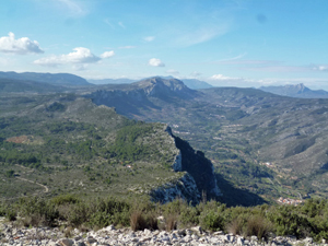
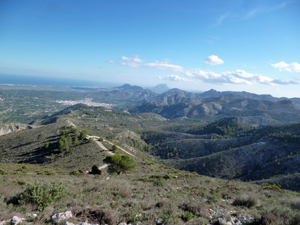
Miserat summit de Adsubia
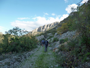
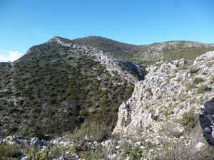
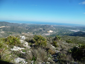
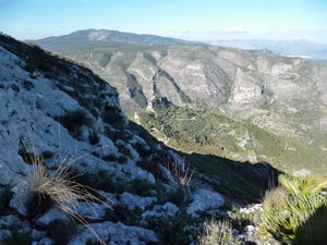
An interesting route mainly over tracks and paths (with a little on quiet country roads) and some “off piste”, but not scratchy, to the summit
Spanish maps included within these descriptions are provided courtesy of the Spanish IGN and remain © Instituto Geográfico Nacional.
OSM (OpenStreetMap) and OCM (OpenCycleMap) maps are © OpenStreetMap Contributors. The OSM project welcomes contributions from all to enrich the map data, which is made freely available. Land (Thunderforest Landscape) maps are © Thunderforest based on data © OpenStreetMap contributors.
The grade of this walk is VS/B, which means
VS – Very Strenuous: More than 800 metres ascent and/or more than 20km in length with steep, loose or heavily vegetated sections.
B – Less than half the route on rough ground.
| Nearest town | Adsubia |
| Directions to start |
Follow CV700 from Pego to Adsubia. Towards the end of the village turn left at Bar Moleta and park where convenient. |
| Start point (Lat/Long) | 38.848227, -0.152022 Click here to view in Google Maps (in a new browser tab) |
| Length (km) | 16.50 |
| Ascent (metres) | 812 |
| Walking time (hours) | 4.25 |
| Total time (hours) | 5.75 |
| Recommendations or Restrictions |
Download walk descriptionDownload GPS file
Comments
Miserat summit de Adsubia — No Comments
HTML tags allowed in your comment: <a href="" title=""> <abbr title=""> <acronym title=""> <b> <blockquote cite=""> <cite> <code> <del datetime=""> <em> <i> <q cite=""> <s> <strike> <strong>