
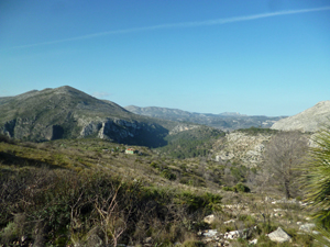
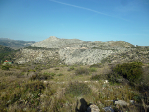
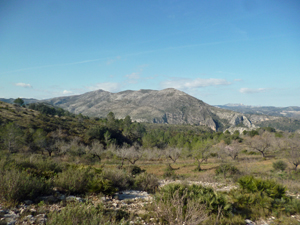
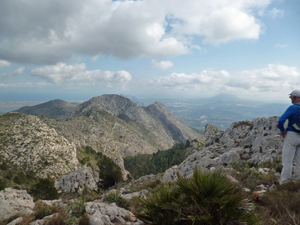
Penon de Mediodia
An opportunity to use road height gain to make an easy ascent to the highest – unnamed – summit of the Mediodia range.
Spanish maps included within these descriptions are provided courtesy of the Spanish IGN and remain © Instituto Geográfico Nacional.
OSM (OpenStreetMap) and OCM (OpenCycleMap) maps are © OpenStreetMap Contributors. The OSM project welcomes contributions from all to enrich the map data, which is made freely available. Land (Thunderforest Landscape) maps are © Thunderforest based on data © OpenStreetMap contributors.
The grade of this walk is MS/B, which means
MS – Moderately Strenuous: Up to 600 metres ascent and/or no more than 15 km in length with some rough going taken at a reasonable pace.
B – Less than half the route on rough ground
| Nearest town | Vall d’Ebo |
| Directions to start |
The CV715 passes inland N through Parcent, Orba and finally Pego. Follow this until shortly BEFORE reaching Pego there is a L turn – CV712 – towards Vall d’Ebo. Follow this to the summit of the ridge and park on the LHS on a track opposite a disused windmill. |
| Start point (Lat/Long) | 38.815377, -0.130357 Click here to view in Google Maps (in a new browser tab) |
| Length (km) | 10.00 |
| Ascent (metres) | 407 |
| Walking time (hours) | 3 |
| Total time (hours) | 4 |
| Recommendations or Restrictions | Good sense of direction needed. |
Download walk descriptionDownload GPS file
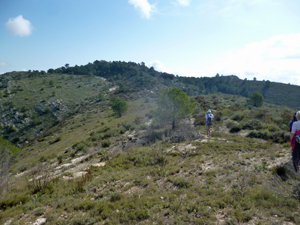
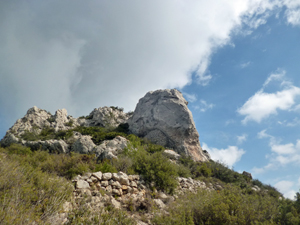
Best to use the GPS track to help find the way up to and off the summit of the Penon. Some users have found this section troublesome