
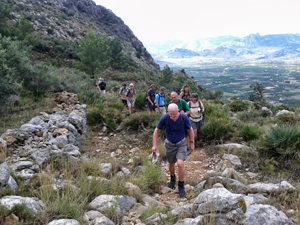
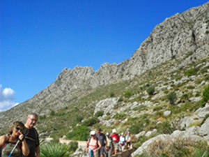
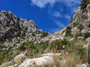
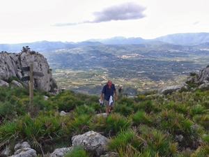
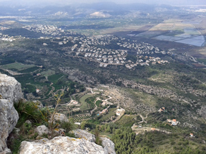
Segaria summit from the East
A very pleasant walk for the main part around this rugged mountain with a tough ascent over rocky ground to the summit. A little scrambling.
Spanish maps included within these descriptions are provided courtesy of the Spanish IGN and remain © Instituto Geográfico Nacional.
OSM (OpenStreetMap) and OCM (OpenCycleMap) maps are © OpenStreetMap Contributors. The OSM project welcomes contributions from all to enrich the map data, which is made freely available. Land (Thunderforest Landscape) maps are © Thunderforest based on data © OpenStreetMap contributors.
The grade of this walk is S/B, which means
S – Strenuous: More than 600 metres ascent and/or more than 15km in length with steep, loose or heavily vegetated sections.
B – Less than half the route on rough ground.
| Nearest town | Benimeli |
| Directions to start |
Take the CV729 to Benimeli. In centre of Benimeli turn off the CV729 following brown sign “Pou de Baix”. Park near outdoor piscina. |
| Start point (Lat/Long) | 38.820390, -0.043004 Click here to view in Google Maps (in a new browser tab) |
| Length (km) | 11.00 |
| Ascent (metres) | 700 |
| Walking time (hours) | 3.75 |
| Total time (hours) | 5.00 |
| Recommendations or Restrictions | None |
Download walk descriptionDownload GPS file
Comments
Segaria summit from the East — No Comments
HTML tags allowed in your comment: <a href="" title=""> <abbr title=""> <acronym title=""> <b> <blockquote cite=""> <cite> <code> <del datetime=""> <em> <i> <q cite=""> <s> <strike> <strong>